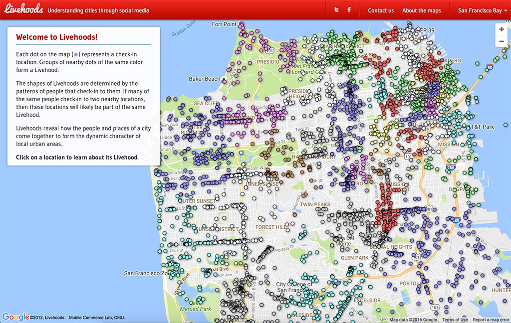
Livehoods uses the data of over 18 million foursquare check-ins to map both geographic distance of frequented venues as well as plotting its ‘social distance’, or ‘the degree of overlap in the people that check-in to them’. Through accumulation of foursquare check-ins, Livehood algorithmically condenses this data into neighborhoods allowing a user to view the pattern sets of other people’s use of space.